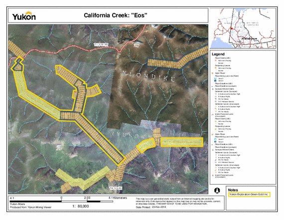
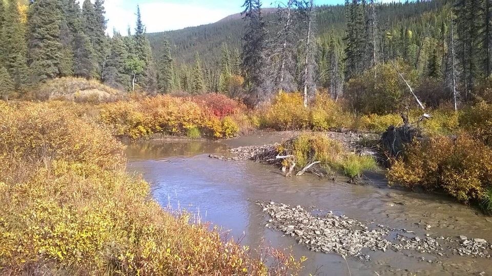
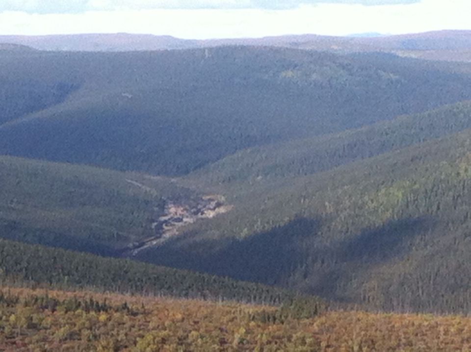
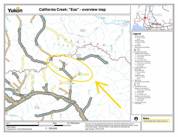
This is a big property (more than 400 hectares, almost 1,000 acres) located along the upper part of the historical California Creek. Hand-mined at the beginning of 1900 (piles of tailings and shafts are still visible in the upper end of the property). Since WWI this part of the creek has been neglected and sporadically explored. During the summer of 2015 we sampled the upper end with excavators and drilled with an 8 inch auger and we found out that the richest gold area seems to be extended toward north, toward the Top of The World Highway. l
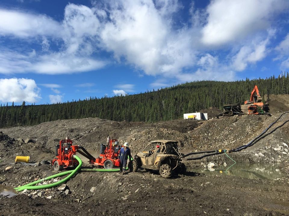
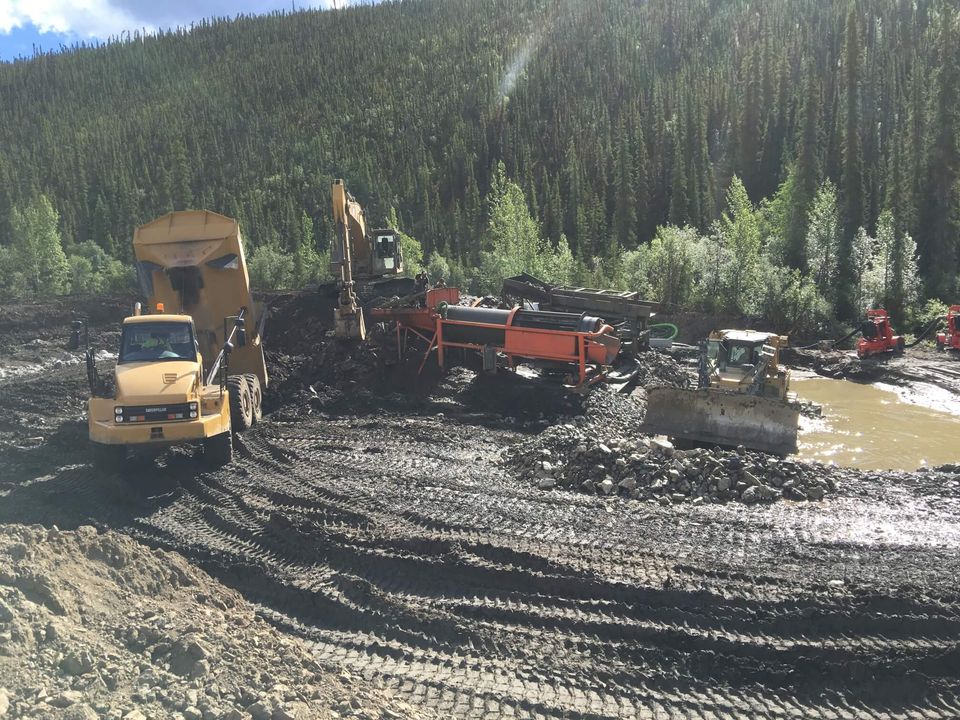
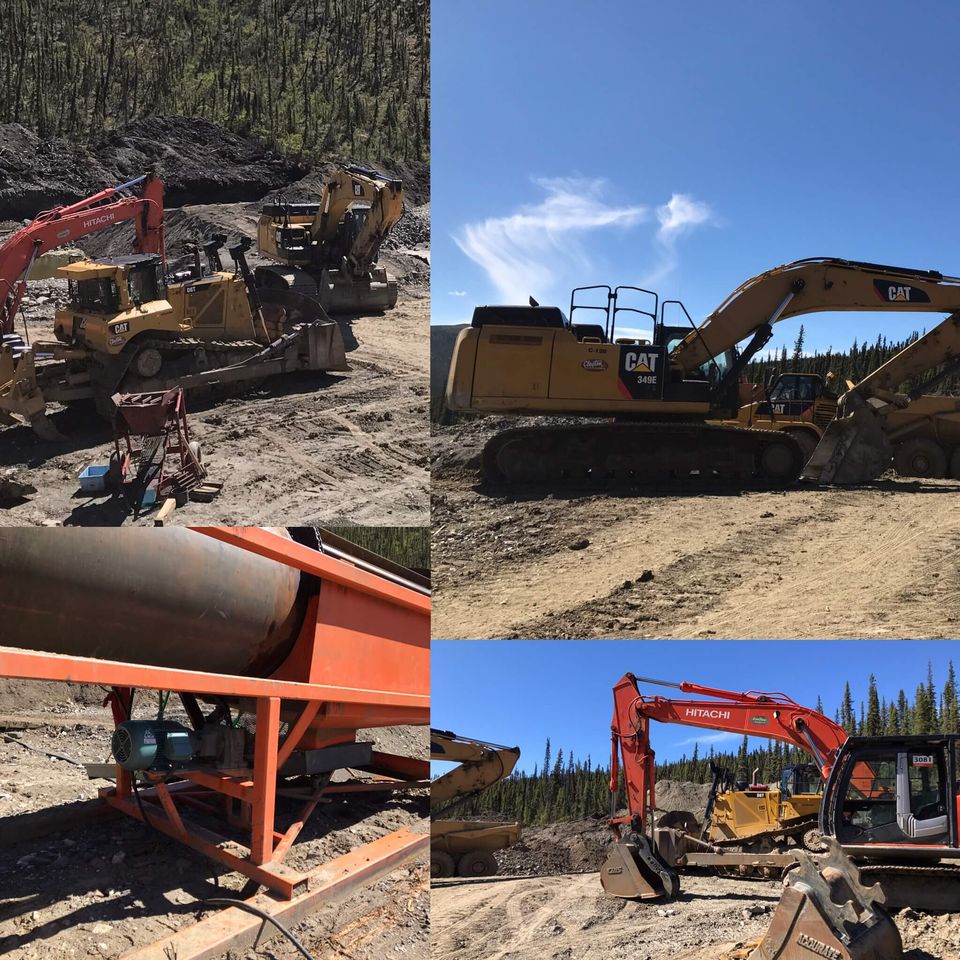
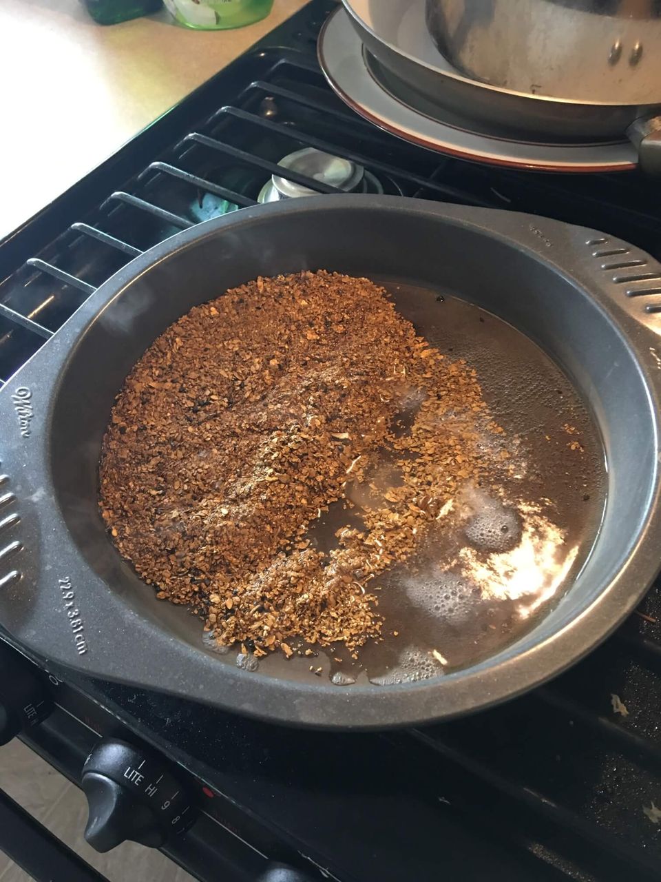
During summer of 2016 a mining company from Alberta optioned the property from us until 2020 and started to mine good quantities (an average of 1 ounce per 100 cubic meters) of fine and coarse gold with fineness of 810, to prove that the results of our exploration campaigns were very accurate.
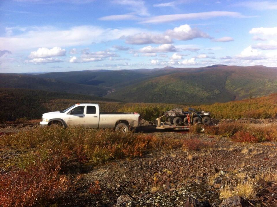
The property is now serviced by three excellent roads, two to the top and one to the bottom of our claims. The ground is shallow (10-15 feet) and with a very small coverage of overburden. The permafrost is patchy and represents a small challenge (not for a D9 with good rippers!).
The upper part of California Creek is today considered an excellent/productive gold mine and it represents another successful discovery made by Yukon Exploration Green Gold Inc!
Water Licence available